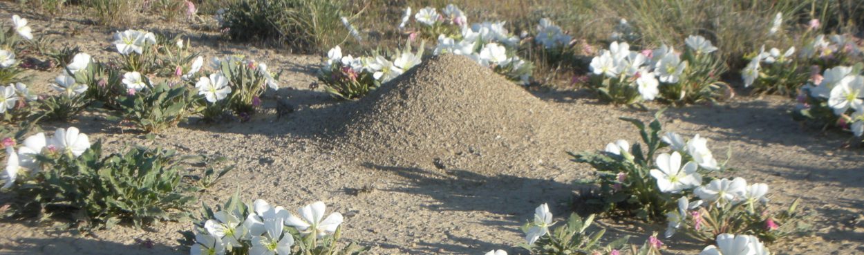
Our study site is located on Bureau of Land Management land in western Colorado about 8 km NW of the town of Fruita on the west side of the 16 Road, north of the Highline Canal. The site is in the adobe badlands an area of hills that gradually slopes up from the Colorado River to the Bookcliffs Escarpment. The soil has a high clay content. Annual precipitation at Grand Junction (approx 40 kilometers) is about 24 cm/yr. The annual precipitation is about 15-20 cm. For information on the vegetation and (non-ant) animals, see The Natural History of the North Fruita Desert.
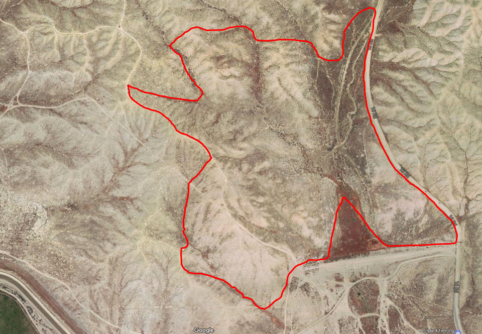
- This is what the site looks like in Google Earth. The main study site is approximately 28 hectares inside the red outline. The boundaries of the study site run along the 16 road, a Bureau of Reclamation dike and mostly follows a variety of washes and other natural features.
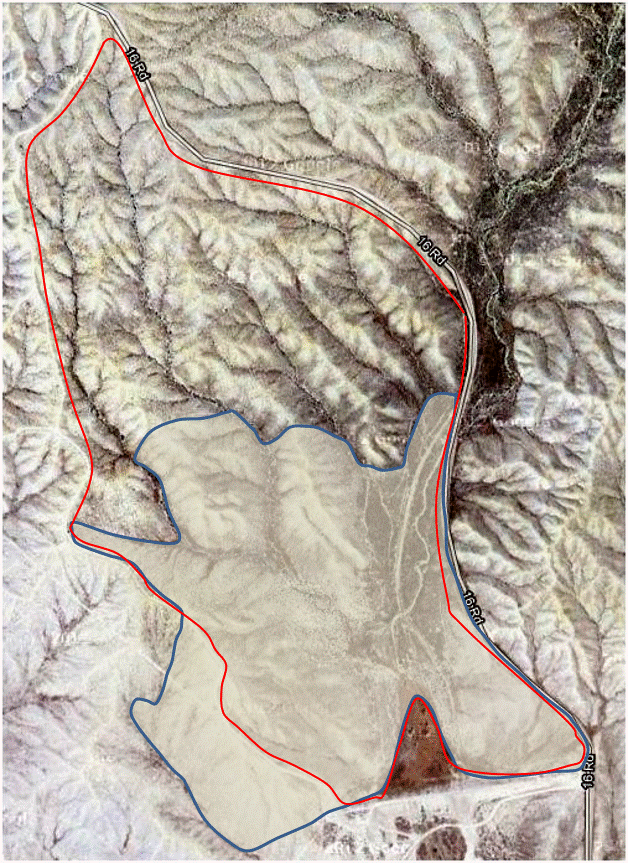
- In 1999, we were able to get the BLM to help build a fence to surround the study site. The area fenced is shown in red with the main study site outlined in blue. As you can see most of the main study site is fenced. The area to the north of the main study site has been used for a variety of purposes, most notably the area for the experimental transplants.
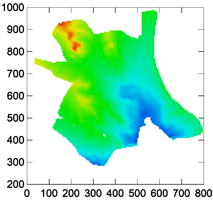
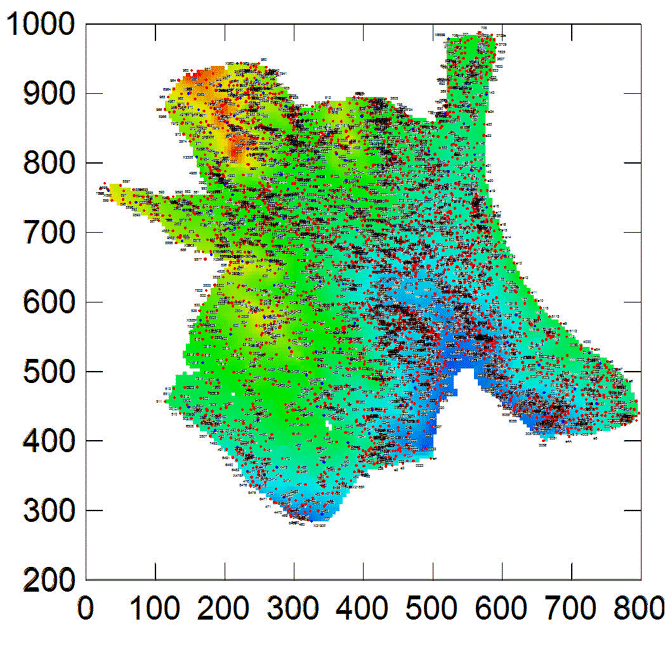
- This map shows the coordinate system that we use to locate colonies with the color of the map indicating elevation–from blue to red is from lower to higher. Prominently visible is a set of hills on the northwestern portion of the plot. Less prominent on this map, but still topographically prominent are a series of hills which are yellow here. The plot generally slopes to south and east.
- An overview of the locations of ant colonies at the site. It is clear that some portions of the plot have much greater density of colonies than others.
